
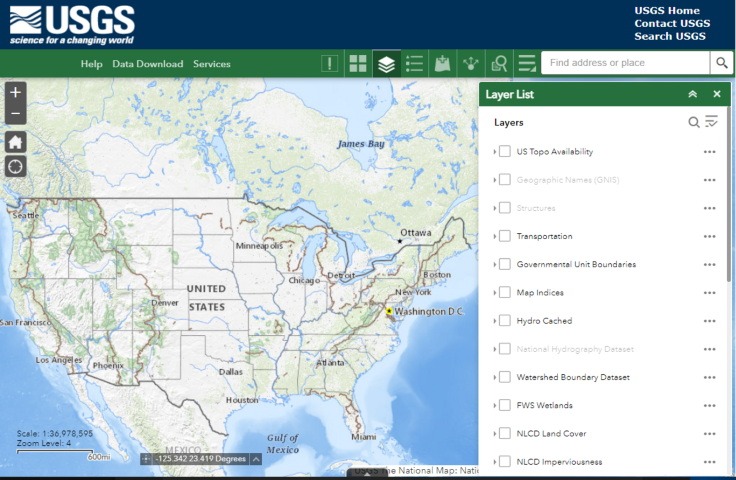
The National Map is a suite of products and services that provide access to base geospatial information to describe the landscape of the United States and its territories. The National Map embodies eleven primary products and services and numerous applications and ancillary services.
Launch the USGS National Map Tool
Maps using ESRI Living Atlas technology are more versatile than Google maps and without Ads! See just what you want. Most Government and GIS professionals use ESRI, for example, The U.S. Census Bureau’s American Community Survey (ACS) layers are viewable in the Living Atlas and include over one hundred layers covering a wide range of topics on housing, income, internet, education, disability, health insurance, and more.
Need a specific map built using the ESRI technology tools Just Ask!
Custom maps have never been easier using ESRI technology
- High-Resolution Imagery Map
- Build your own maps adding layers from an impressive collection of government datasets like climate, demographics, elevation, zoning, etc.
- Control the appearance by selecting the base map like Color pencil, Open stencil, Mid Century, National Geographic, or Antique
Examples:
The geographic information available from The National Map includes boundaries, elevation, geographic names, hydrography, land cover, orthoimage, structures, and transportation.
-
- Included in The National Map are the latest elevation data from the 3D Elevation Program (3DEP), surface water data from the National Hydrography Datasets (NHD), and place name data from the Geographic Names Information System (GNIS). In addition, The National Map provides continuously updated, seamless datasets for recreational trails, roads, boundaries, structures, land cover, and imagery.
- The National Map also serves as the data source for modern USGS topographic maps such as US Topos and OnDemand Topos. US Topo maps and scans of historic USGS topographic maps are also available as a part of The National Map.
Data and products from The National Map are used by government, industry, academia, as well as the public, in support of geologic mapping, natural hazard planning, natural resource conservation, emergency management, recreation, and many, many other applications.
The National Map is managed by the USGS’ National Geospatial Program in coordination with federal, state, and local partners and may be accessed through data download, web map services, and an online viewer.